San Antonio Faces Persistent Downpour, Flood Alert Continues
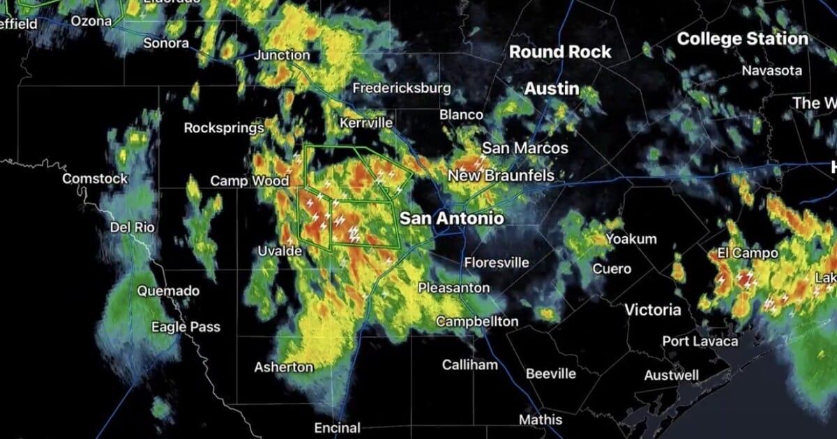
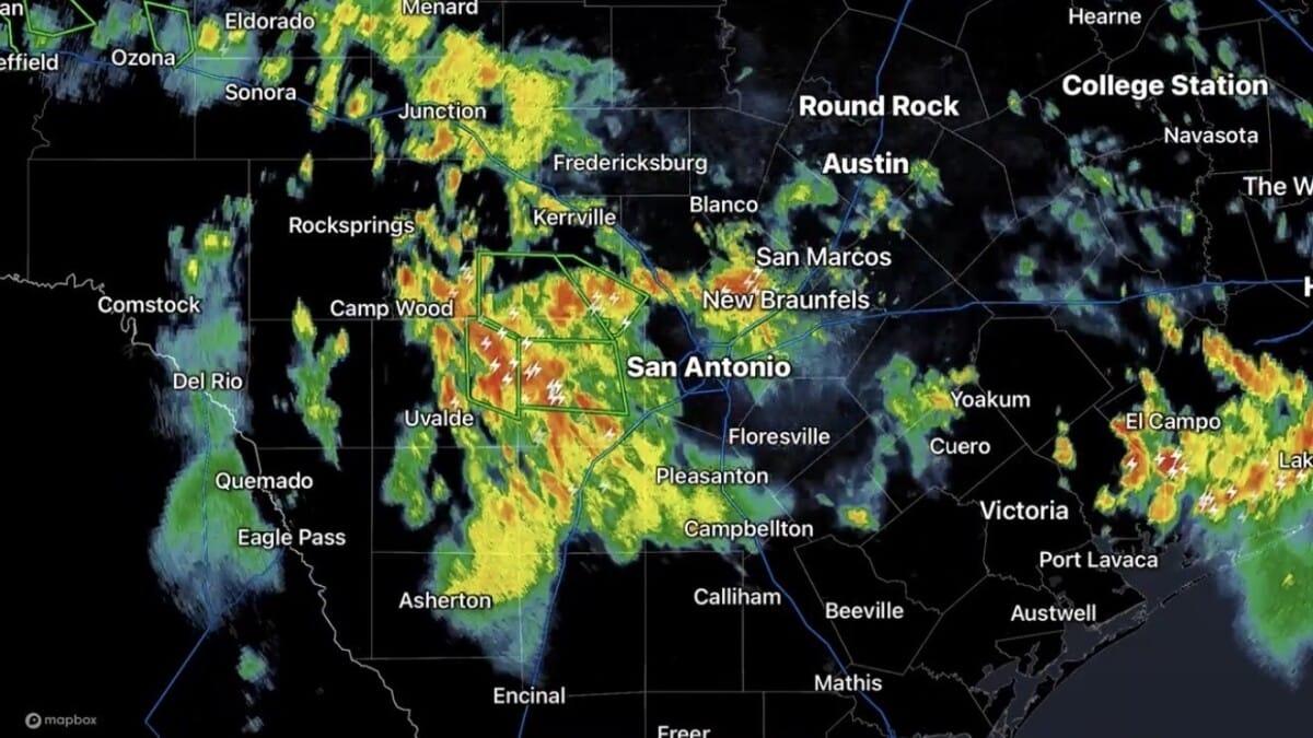
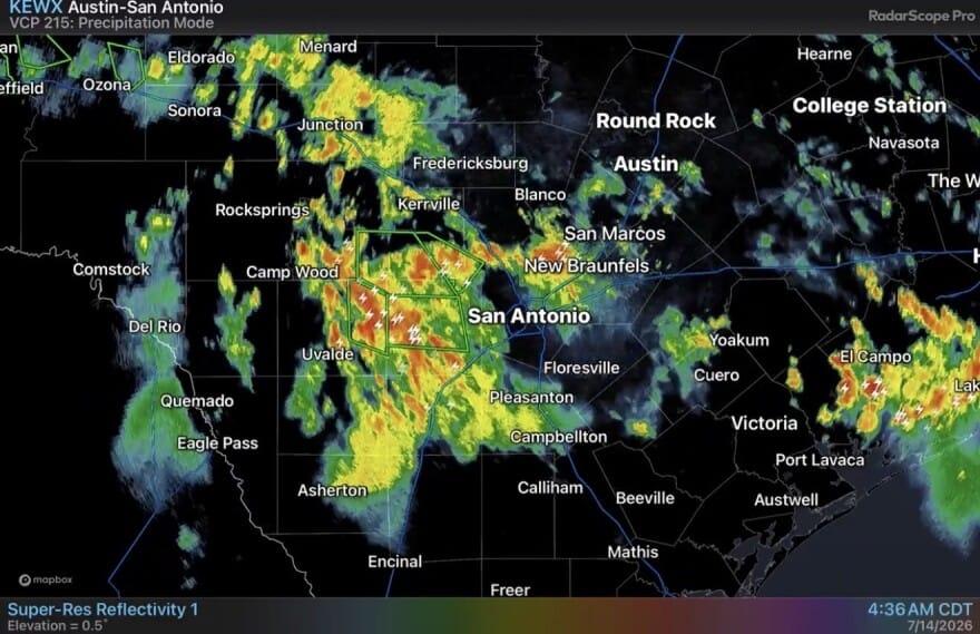
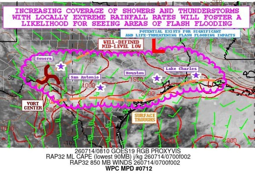
San Antonio and surrounding areas in South Central Texas are currently grappling with an ongoing deluge of rain and thunderstorms, as a slow-moving weather system continues to fuel concerns over potential flooding. A Flood Watch remains active for the region, stretching until Thursday evening, signaling the likelihood of multiple rounds of rainfall.
Authorities warn that rapidly rising water levels could significantly impact roadways, low-water crossings, and various drainage systems. The National Weather Service (NWS) has indicated that some parts of the area have already recorded between 1 to 3 inches of rain, with predictions of even higher accumulations in locations where storms repeatedly track over the same spots.
Overnight and into Tuesday morning, heavy rainfall and subsequent flooding severely affected Medina and Uvalde counties, situated west of San Antonio. This led to numerous road closures and prompted several high-water rescue operations. In Medina County, officials confirmed multiple road closures and at least four high-water rescues before 8 a.m. Drone footage, according to the NWS, revealed extensive flooding across D’Hanis, a community of approximately 800 residents within Medina County.
Similarly, Uvalde County reported nearly 7 inches of rain near Sabinal before 8 a.m., where another high-water rescue was carried out. Flooding was also observed along Highway 90 close to Knippa in the early hours of Tuesday. These flood-prone conditions are anticipated to persist across the region through Thursday, though fortunately, no fatalities or injuries have been reported so far.
Forecasts suggest that storms will deliver periods of intense rainfall throughout Tuesday to the San Antonio area. Certain locations could experience several inches of rain, particularly where thunderstorms repeatedly traverse the same areas. Residents are strongly advised against driving through flooded roads, as accurately assessing water depth can be challenging.
Earlier on Tuesday morning, the NWS had issued warnings about heavy rain impacting parts of Bexar, Comal, Medina, Uvalde, and Val Verde counties. Some of these areas received between 2 to 4 inches of rain within a three-hour window, with ongoing intense rainfall exacerbating conditions. The NWS also cautioned about the dangers of flooding at campgrounds near streams, rivers, or low-lying areas, emphasizing that heavy rain can quickly trigger flash floods. Campers and those in affected vicinities should immediately seek higher ground if a flood alert is issued.
As the day progresses, weather experts highlight that the primary concern is not solely the volume of rain, but also the speed at which it falls. Furthermore, even after the storms clear, runoff can continue to create hazardous conditions in areas susceptible to flooding. Temperatures are expected to remain uncharacteristically mild for July, staying in the low 80s, thanks to the persistent cloud cover and rain. Additional showers and thunderstorms are possible throughout the week as moisture continues to flow into the region.
San Antonio residents are urged to remain vigilant, closely monitor evolving weather conditions, allocate extra time for their morning commutes, and be prepared for more rainfall.
Gallery
Comments
(0)0/500 · No URLs or profanity allowed
This San Antonio flood matter na serious gbege o! Rain just dey fall like say tomorrow no dey, and dem say water don carry road for many places. Make everybody wey dey dat area shine their eyes well well, no try to pass flood water, because prevention na better pass cure.
Source: Google Trends Nigeria
Related Stories

Delhi NCR Braces for Rain, Thunderstorms Amid Sweltering Heat

Freetown Ceremony: Nigeria Reaffirms Stronger Ties with Sierra Leone

US Stands Firm: Strait of Hormuz Open Despite Iran's Renewed Strikes

Ayatollah Mojtaba Khamenei Pledges Retaliation for Father's Killing

Qatar Mourns Passing of Visionary Former Emir Sheikh Hamad bin Khalifa Al Thani at 74